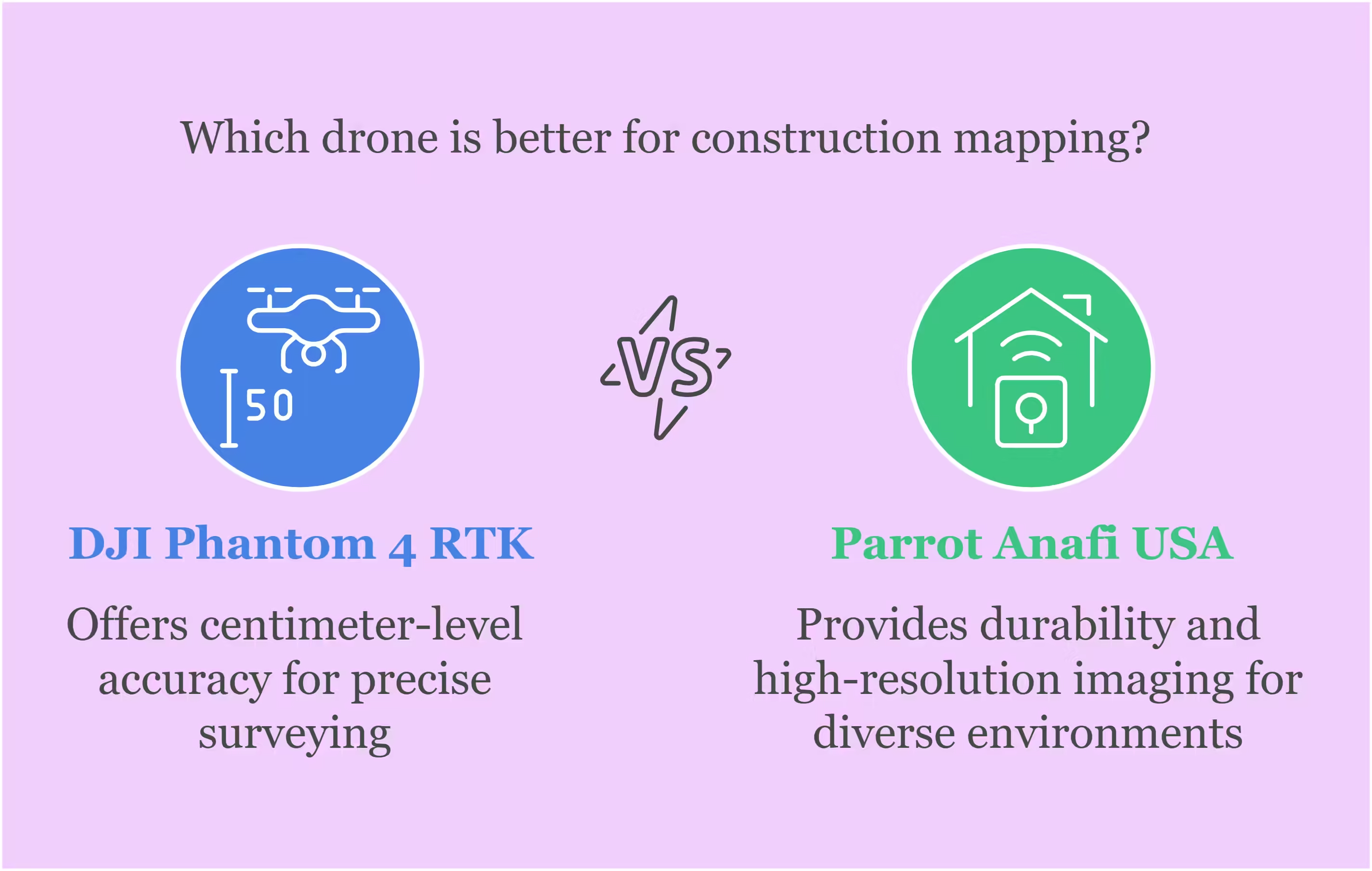
The best drones for construction mapping include DJI Phantom 4 RTK and Parrot Anafi USA. These drones offer high accuracy and reliability.
Construction mapping requires precise and reliable equipment. Drones have revolutionized this process by providing detailed aerial views and accurate data. DJI Phantom 4 RTK is renowned for its centimeter-level accuracy, making it ideal for surveying and mapping tasks. Parrot Anafi USA offers durability and high-resolution imaging, suitable for various construction environments.
Both drones come equipped with advanced GPS and imaging technologies, ensuring efficient and accurate mapping. Integrating these drones into construction projects can save time, reduce costs, and improve overall project management. Their user-friendly interfaces also make them accessible for professionals at all levels.
Introduction To Construction Mapping Drones
Construction mapping drones have revolutionized the building industry. They offer a bird’s-eye view of construction sites. These drones help in accurate mapping and monitoring progress. They save time and reduce human error. Drones are becoming essential tools for modern construction projects.
Importance In Modern Construction
Construction mapping drones bring many benefits. They provide real-time data and high-resolution images. This helps in making quick decisions. Drones improve site safety by reducing the need for human inspection in dangerous areas. They also help in project planning and resource management. Drones ensure that the construction is on track and within budget.
Key Features To Consider
When choosing a construction mapping drone, consider the following key features:
- Camera Quality: High-resolution cameras capture detailed images.
- Flight Time: Longer flight times allow for extended mapping sessions.
- GPS Accuracy: Precise GPS systems ensure accurate mapping.
- Durability: Durable drones withstand harsh construction environments.
- Software Integration: Drones should integrate with mapping software.
| Feature | Importance |
|---|---|
| Camera Quality | Essential for detailed imagery |
| Flight Time | Allows for longer mapping sessions |
| GPS Accuracy | Ensures precise mapping |
| Durability | Withstands tough conditions |
| Software Integration | Integrates with mapping tools |
Benefits Of Using Drones In Construction
Construction sites are evolving. Drones are now a vital tool in the construction industry. They bring many benefits, making tasks easier and more efficient. Let’s explore the top benefits of using drones in construction.
Enhanced Accuracy
Drones provide high-precision data. They can capture detailed images and videos from various angles. This helps in creating accurate maps and models. Engineers can spot errors and correct them quickly. Drones use GPS technology. This ensures exact location tracking. They can also create 3D models. These models give a better understanding of the site.
Time And Cost Efficiency
Drones save both time and money. They can survey large areas in a short time. This reduces the need for manual labor. Traditional methods take days, but drones do it in hours. They also cut costs on equipment and manpower. Drones can monitor progress, track materials, and ensure safety. This helps in reducing delays and extra expenses.
| Benefit | Explanation |
|---|---|
| Speed | Drones complete tasks faster than humans. |
| Cost | Reduces need for expensive equipment and labor. |
| Safety | Monitors hazardous areas without risking human lives. |
Drones are revolutionizing construction. They offer accuracy, efficiency, and cost savings. Embrace drone technology for better construction outcomes.
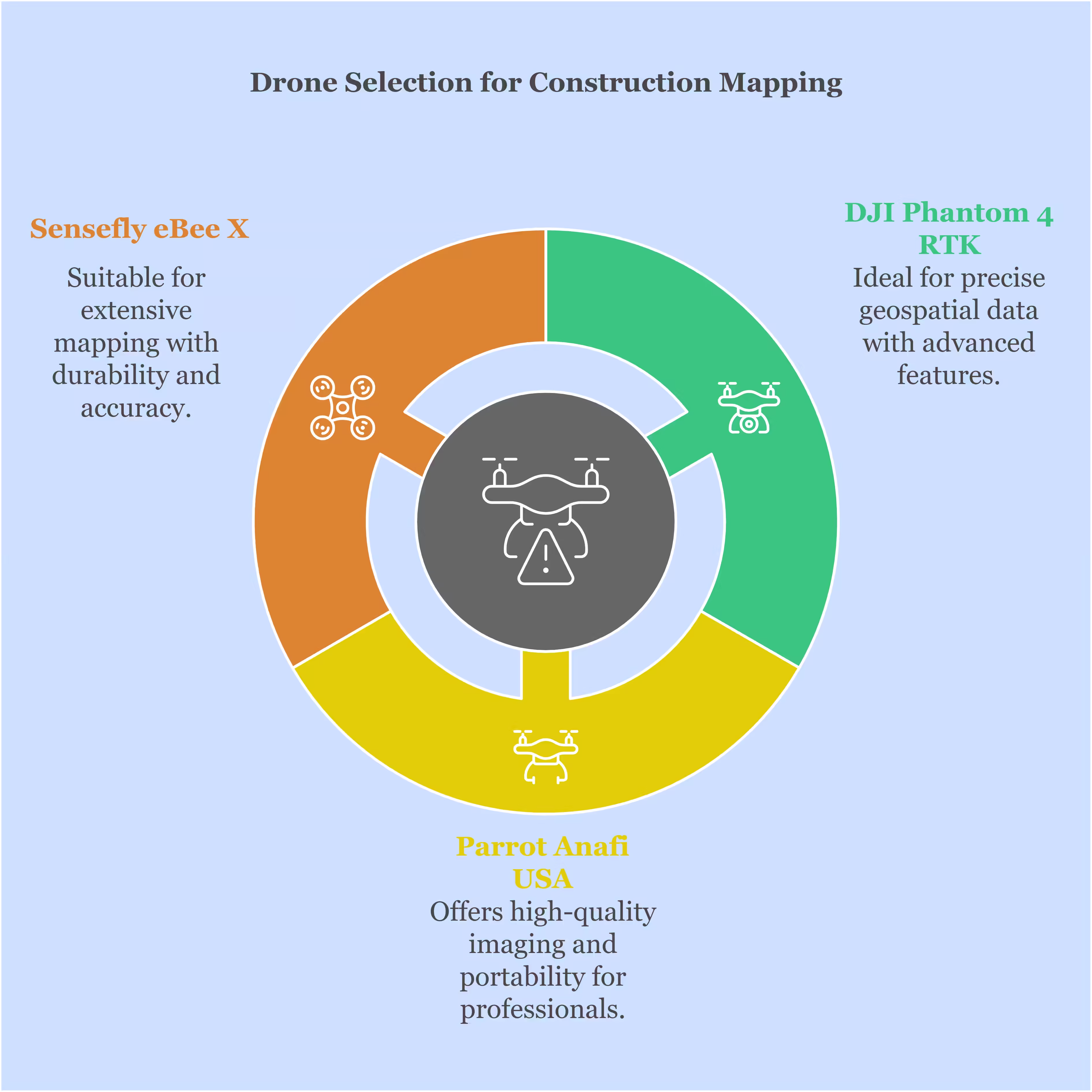
Top Drone Models For Precision Mapping
Construction mapping requires drones with high precision and reliability. Here are the best drones for construction mapping. These drones offer advanced features, ensuring accurate data collection for your projects.

Dji Phantom 4 Rtk
The DJI Phantom 4 RTK stands out for its precise mapping capabilities. It integrates a Real-Time Kinematic (RTK) module. This ensures centimeter-level accuracy. The Phantom 4 RTK has a 20MP camera with a 1-inch sensor. It captures detailed images for accurate 3D models.
| Feature | Details |
|---|---|
| Camera | 20MP, 1-inch sensor |
| Accuracy | Centimeter-level with RTK |
| Flight Time | Up to 30 minutes |
Parrot Anafi Usa
The Parrot Anafi USA is known for its versatility. It features a 32x zoom camera and thermal imaging. This drone is ideal for detailed inspections and mapping. It offers 32 minutes of flight time, allowing extensive coverage. The Anafi USA is also lightweight and portable, making it easy to deploy on-site.
- Camera: 32x zoom, thermal imaging
- Flight Time: Up to 32 minutes
- Portability: Lightweight and easy to deploy
Sensefly Ebee X
The senseFly eBee X excels in large-area mapping. It offers a range of payloads, including high-resolution cameras. The eBee X has a flight time of up to 90 minutes. This makes it perfect for mapping extensive areas. Its RTK/PPK capabilities ensure high accuracy.
| Feature | Details |
|---|---|
| Camera Options | High-resolution payloads |
| Flight Time | Up to 90 minutes |
| Accuracy | RTK/PPK capabilities |
Choosing the right drone can make a big difference in construction mapping. These models offer the best in precision, reliability, and advanced features.
Dji Phantom 4 Rtk Overview
The DJI Phantom 4 RTK is a top choice for construction mapping. It offers precise geospatial data for high-quality results. This drone is an upgrade from the popular Phantom 4 series. Its advanced RTK module ensures centimeter-level accuracy. This makes it ideal for construction sites.
Key Specifications
| Specification | Details |
|---|---|
| RTK Module | Centimeter-level accuracy |
| Camera | 20MP, 1-inch sensor |
| Flight Time | Up to 30 minutes |
| Transmission Range | 7 km |
| Obstacle Sensing | 5 directions |
Pros And Cons
- Pros:
- High-precision RTK module
- Excellent camera quality
- Long flight time
- Robust obstacle sensing
- Easy to use
- Cons:
- Expensive
- Limited payload capacity
- Requires training to use RTK features
The DJI Phantom 4 RTK offers significant benefits. It’s a reliable tool for construction mapping projects.
Parrot Anafi Usa Overview
The Parrot Anafi USA is an advanced drone designed for construction mapping. It offers high-quality imaging and precise data capture. This drone is built for professionals needing reliable and accurate tools.
Key Specifications
| Specification | Details |
|---|---|
| Camera | 32x zoom, 21MP |
| Flight Time | 32 minutes |
| Weight | 500 grams |
| Range | 4 km |
| Stabilization | 3-axis gimbal |
Pros And Cons
- Pros:
- High-quality camera with 32x zoom
- Long flight time of 32 minutes
- Lightweight and portable
- Stable flights with 3-axis gimbal
- Good range of 4 km
- Cons:
- Expensive for beginners
- Complex controls for new users
Sensefly Ebee X Overview
The senseFly eBee X is one of the top drones for construction mapping. It offers advanced features that make surveying and mapping efficient. This drone is designed to handle various terrains and weather conditions. Let’s dive into its key specifications, pros, and cons.
Key Specifications
| Specification | Details |
|---|---|
| Flight Time | Up to 90 minutes |
| Camera | 4K RGB, Thermal, Multispectral |
| Range | Up to 50 km |
| Weight | 1.6 kg |
| Wind Resistance | Up to 46 km/h |
| Accuracy | Down to 1.5 cm |
Pros And Cons
- Pros:
- Long flight time for extensive mapping.
- High-quality cameras for detailed imagery.
- Durable and weather-resistant build.
- Easy to operate and set up.
- Accurate data collection.
- Cons:
- High initial cost.
- Requires training to use effectively.
Choosing The Right Drone For Your Needs
Selecting the best drone for construction mapping can be challenging. Each project has unique requirements. The right drone boosts efficiency and accuracy. Let’s dive into the key aspects to consider.
Assessing Project Requirements
Identify your project’s specific needs. Determine the size of the area you need to map. Smaller sites might need a drone with shorter flight times. Larger sites benefit from drones with extended battery life.
Consider the type of data you require. Some projects need high-resolution images. Others might need thermal imaging. Ensure the drone can handle the data type your project demands.
Look at the terrain of your site. Rocky or uneven landscapes might need drones with advanced stability features. Smooth terrains may allow for simpler, more affordable models.
Budget Considerations
Budget is a crucial factor in choosing a drone. High-end drones offer more features but come with higher price tags. Balance your needs with what you can afford.
Here’s a table to help you compare different price ranges and features:
| Price Range | Features | Examples |
|---|---|---|
| $500 – $1,000 | Basic mapping, shorter flight times | DJI Phantom 3 |
| $1,000 – $2,500 | High-resolution images, moderate flight times | DJI Mavic 2 Pro |
| $2,500 and above | Advanced features, long flight times, thermal imaging | DJI Matrice 210 |
Look for drones that offer the best value within your budget. Sometimes, mid-range drones provide the best balance of cost and features.
Consider the long-term costs as well. Factor in the cost of spare parts, software, and maintenance. A drone with a higher upfront cost might save you money in the long run.
Future Of Drones In Construction
The future of drones in construction is bright. These devices are transforming the industry. They offer new ways to survey and map construction sites. With drones, construction projects become faster and safer. Drones reduce costs and enhance accuracy in mapping. Here’s how the future looks with drones in construction:
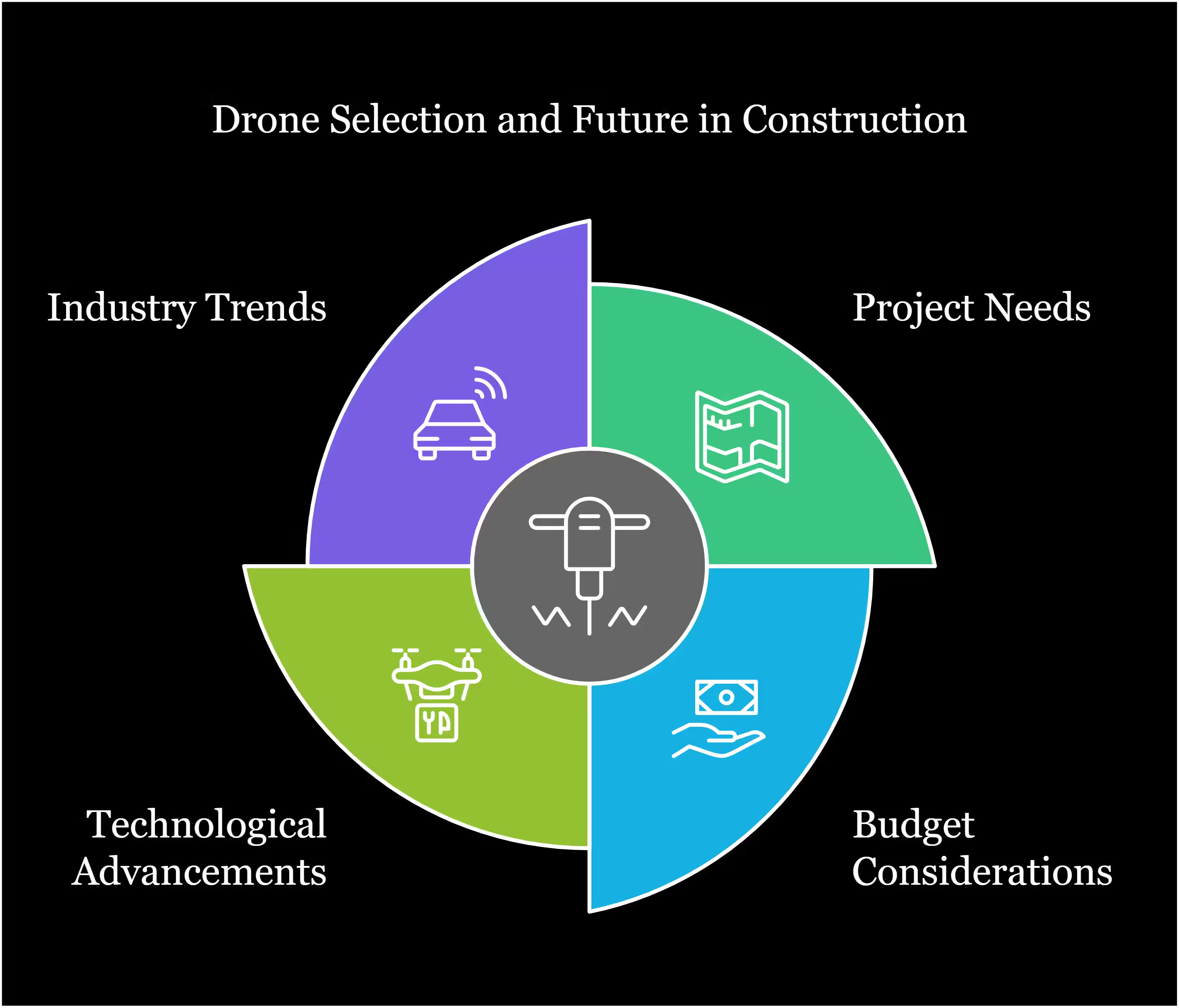
Technological Advancements
Technological advancements in drones are remarkable. High-resolution cameras capture detailed images. Advanced sensors help in collecting precise data. AI and machine learning improve data analysis. Real-time data transmission ensures timely updates.
| Advancement | Benefit |
|---|---|
| High-resolution cameras | Clear and detailed images |
| Advanced sensors | Accurate data collection |
| AI and machine learning | Improved data analysis |
| Real-time data transmission | Timely updates |
Industry Trends
Several industry trends show the growing use of drones. Increased adoption of drones is evident. More training programs are available for operators. Regulations are evolving to support drone usage. Integration with other technologies is on the rise.
- Increased adoption of drones
- More training programs for operators
- Regulations are evolving
- Integration with other technologies
Drones are changing the construction industry. They make projects quicker and safer. Drones save money and improve accuracy. The future of drones in construction is exciting.
Frequently Asked Questions
What Are The Best Drones For Construction Mapping?
The best drones for construction mapping include DJI Phantom 4 RTK, Parrot Anafi USA, and WingtraOne. They offer high-precision mapping, durability, and advanced features tailored for construction site needs.
How Do Drones Help In Construction Mapping?
Drones help in construction mapping by providing accurate aerial surveys, 3D models, and real-time data. This improves site planning, monitoring, and decision-making, enhancing project efficiency.
Which Drone Features Are Essential For Construction Mapping?
Essential drone features for construction mapping include high-resolution cameras, RTK GPS, long battery life, and robust flight stability. These features ensure precise data collection and reliable performance.
Are Drones Cost-effective For Construction Projects?
Yes, drones are cost-effective for construction projects. They reduce labor costs, improve data accuracy, and speed up surveys. This leads to better resource management and project savings.
Conclusion
Choosing the best drone for construction mapping enhances project efficiency and accuracy. The right drone simplifies data collection and analysis. Investing in advanced drone technology ensures precise and timely results. Make sure to consider features, battery life, and software compatibility.
The right choice will significantly benefit your construction mapping projects.